Larchen Rundwanderweg

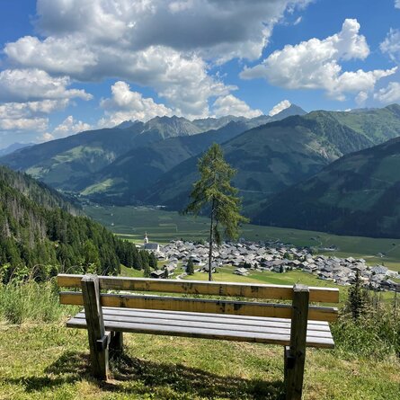
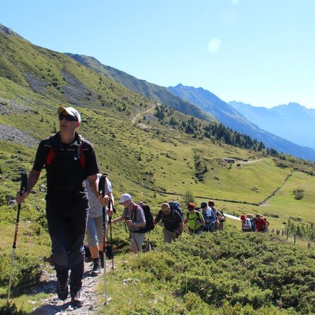
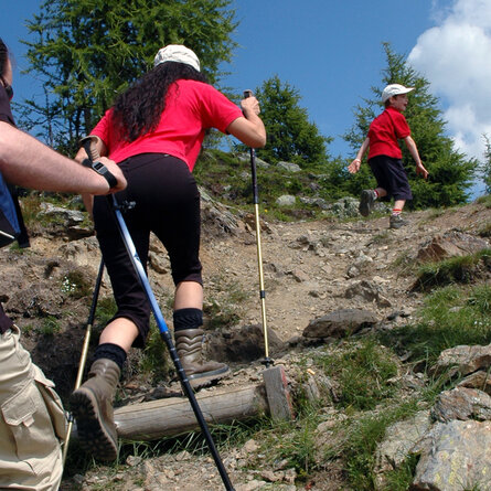
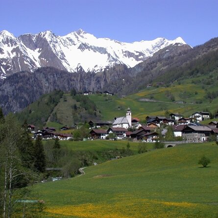
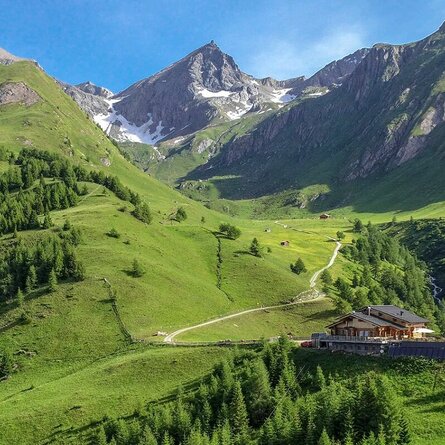
Scenic circular hike above Obertilliach.

The most important at a glance

distance
5 km
altitude meters uphill
🔋
250 m
altitude meters downhill
🔋
250 m
walking time uphill
1 h
walking time downhill
45 min
total walking time
1:45 h
highest point
🞍
1768 m
difficulty
🞽
easy
fitness:

* * * * *

🞙🞙🞙🞙🞙

public transport:

Take bus no. 965 to Obertilliach. Get off at the "Obertilliach GH Weiler" stop and walk through the village to the starting point.

parking:

At the community hall in Obertilliach.

starting point:
Mountain station Himbeergolllift
destination point:
Mountain station Himbeergolllift
best season:
MAY, JUN, JUL, AUG, SEP, OCT
route typ:
circuit

altitude profile

Pdf file

Gpx file

Interactive map

Current weather conditions

Sonne-03.png

19°C/66°F °C

Description

Circular hike via a wide forest road with two cozy viewpoints overlooking the village.