162 | Rauchenbach - Leiten

The most important at a glance

distance
3.43 km
altitude meters uphill
🔋
80 m
altitude meters downhill
🔋
160 m
difficulty
🞽
average
circuit
🞍
no
starting point:
PP Rauchenbach - GH Klammerwirt
destination point:
Obertilliach - Leiten

altitude profile

Pdf file

Gpx file

Interactive map

Current weather conditions

Sonne-03.png

19°C/66°F °C

Description

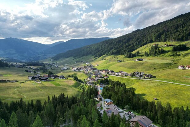
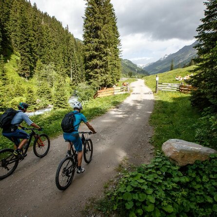
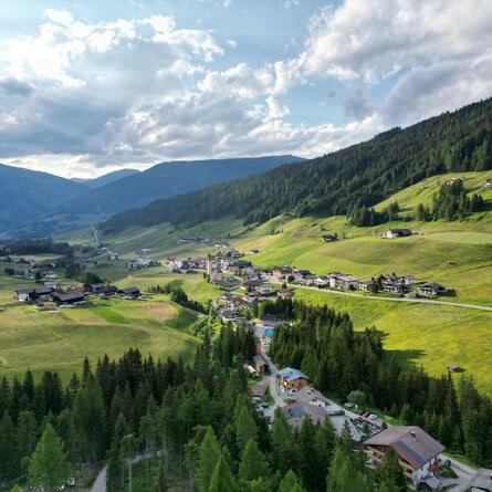
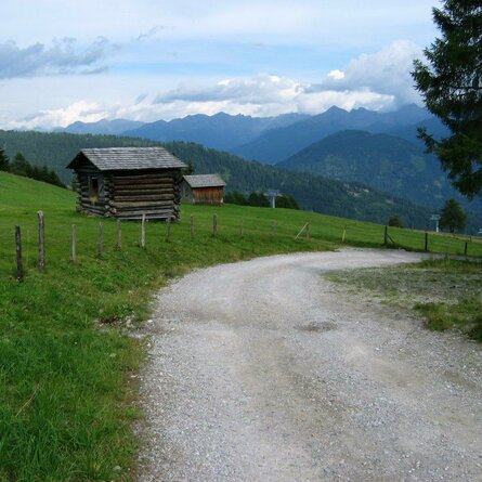
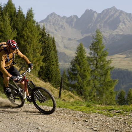
The route is around three kilometers long and leads from the Rauchenbach - Gasthof Klammerwirt parking lot along relatively flat forest paths above the main road to the Leiten district in Obertilliach.