Winkleralmsee-Runde

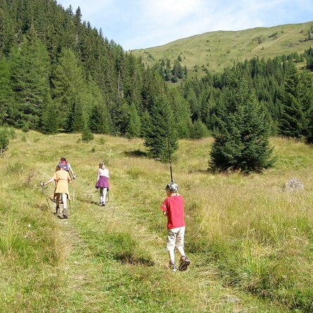
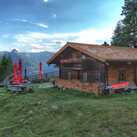
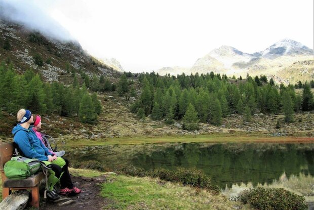
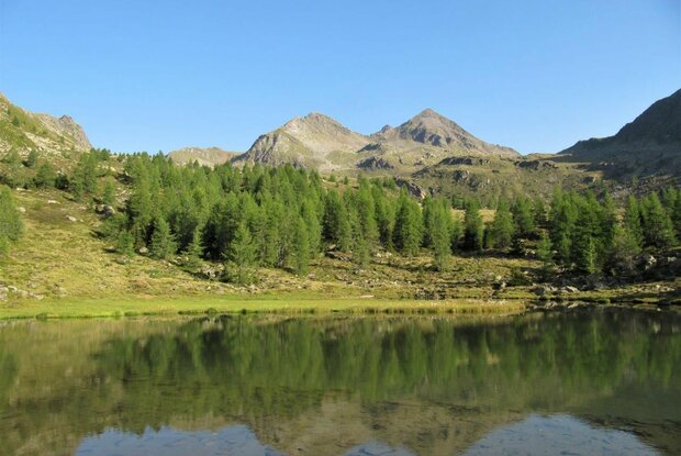
Winklerner Almsee nestles idyllically in the little high valley above Winklerner Viehalm. Thanks to its very flat hiking path, it is a popular excursion destination in the holidays and is especially recommended as a hike for children and families.

The most important at a glance

distance
5.6 km
altitude meters uphill
🔋
230 m
walking time uphill
1 h
walking time downhill
1 h
total walking time
2 h
highest point
🞍
2070 m
difficulty
🞽
easy
fitness:

* * * * *

🞙🞙🞙🞙🞙

technique:

* * * * *

🞙🞙🞙🞙🞙

public transport:

On Fridays with the hiking bus to the "Parkplatz Roaner Alm".

parking:

Roaner Alm parking lot

starting point:
Roaner Alm
destination point:
Winklerner Almsee
best season:
MAY, JUN, JUL, AUG, SEP

arrival

Parkplatz

Car park Roaner Alm

altitude profile

Pdf file

Gpx file

Interactive map

Current weather conditions

Sonne-03.png

14°C/57°F °C

Description

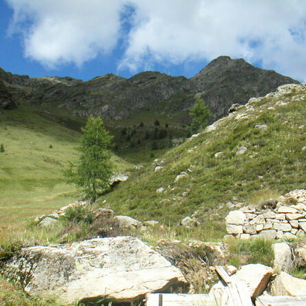
The Winklerner Almsee is beautifully and idyllically nestled in the small high valley above the Winklerner Viehalm. Due to the very flat hiking trail, it is a popular excursion destination during the holiday season and is particularly recommended as a hike for children or families.


The starting point is the car park at the Roaner Alm (subject to a fee). From there, follow the trail towards Winklerner Alm along the alpine ridge for approx. 500 m towards Straßkopf until you reach the signpost "Winklerner Almsee". There, turn right and follow the flat trail across beautiful alpine meadows in a north-easterly direction to the Winklerner Almsee. After a break, head down to the Winklerner Viehalm and follow the trail past the Winklerner Alm back to the starting point.