Petzeck

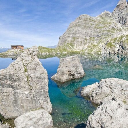
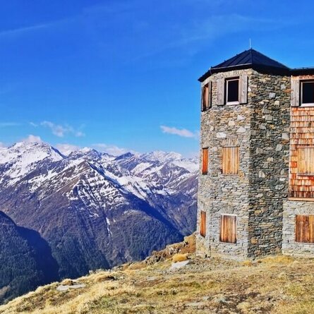
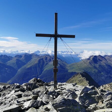
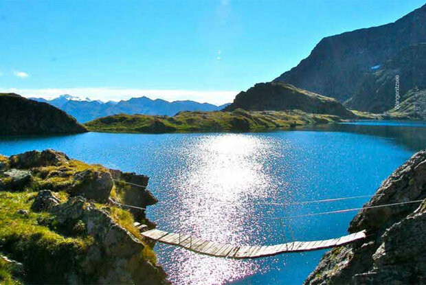
The Petzeck is the highest mountain in the Schobergruppe and yet technically one of the easier three-thousand-metre peaks in this rugged mountain range. The ascent leads past Carinthia's largest mountain lake, the dreamily situated Wangenitzsee and Kreuzsee.

The most important at a glance

distance
16.6 km
altitude meters uphill
🔋
1690 m
altitude meters downhill
🔋
137 m
walking time uphill
6 h
walking time downhill
4 h
total walking time
10 h
highest point
🞍
3270 m
difficulty
🞽
difficult
fitness:

* * * * *

🞙🞙🞙🞙🞙

technique:

* * * * *

🞙🞙🞙🞙🞙

public transport:

Mondays and Thursdays with the hiking bus to the Seichenbrunn car park.

parking:

Seichenbrunn car park

starting point:
Seichenbrunn car park
destination point:
Petzeck
best season:
MAY, JUN, JUL, AUG, SEP

arrival

Parking spot

Car park Seichenbrunn

altitude profile

Pdf file

Gpx file

Interactive map

Current weather conditions

Sonne-03.png

19°C/66°F °C

Description

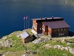
From the Seichenbrunn car park, cross the Debantbach to the right and follow the well-marked trail via the Niedere Seescharte between Kreuzsee and Wangenitzsee to the Wangenitzseehütte. From there, follow the marked trail first in an easterly direction past a climbing section (wire rope insurance), then in a northerly direction on a partly steeply ascending trail, finally crossing glacier remains on the summit ascent to the highest peak of the Schobergruppe.